

Getting to the Trailhead
To start the hike up to the Lions, you drive yourself over to Lions Bay and search for ever so coveted parking in a residential neighbourhood. Be mindful not to park in front of someone’s house, or else you could possibly find yourself without a car after a long hike. We got to the trail head around 8:30 am, and most of the good parking spots were taken. Hiking is a pretty popular weekend activity in Vancouver and the early bird gets the worm...parking spot.
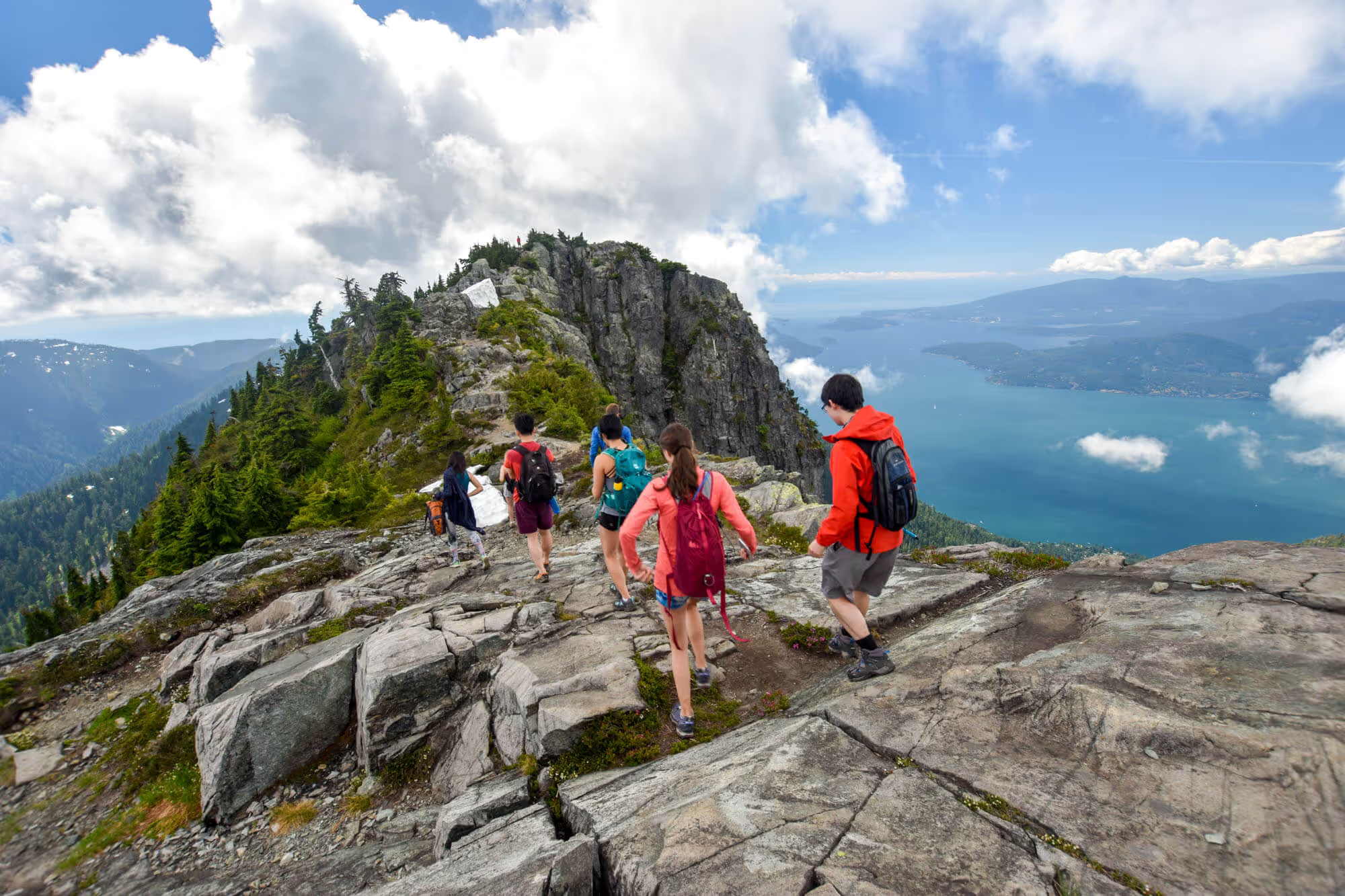
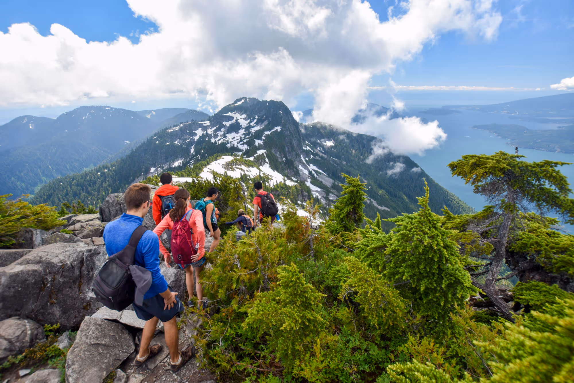
The Trail to the Summit
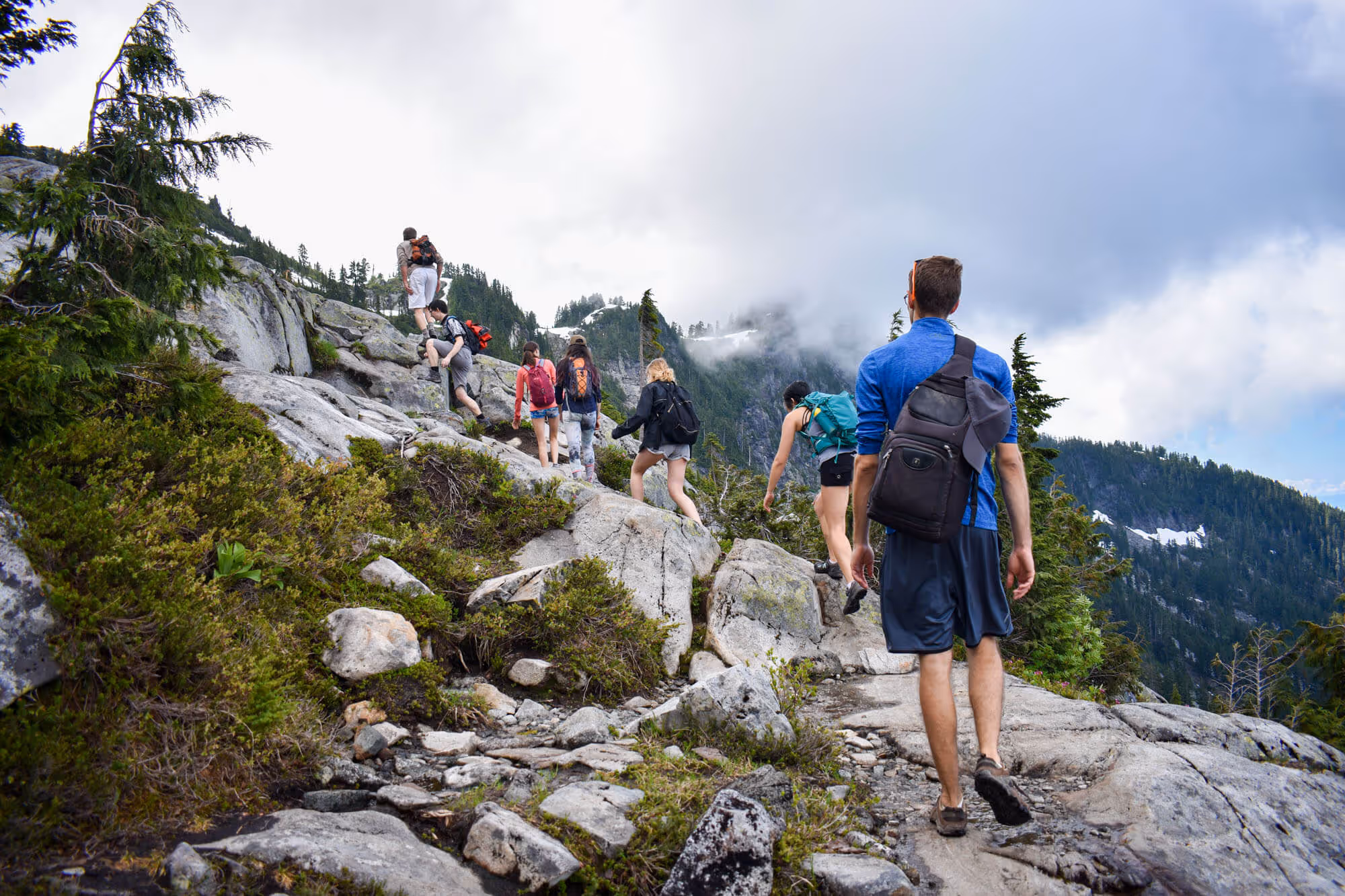
The start of the trail is an old logging road. It is surprisingly steep and lengthy. It made us feel out of shape. The climb up to the summit should take somewhere in the neighbourhood of 3-4 hours for a group that is moderately in shape (none of us are running marathons, but we don’t weeze after running down the block). On your way up, you will see several forks in the trail. These other trails lead to different mountain peaks, such as Mt. Harvey and Brunswick Mountain. For directions while hiking, we use and highly recommend the Maps.me app - it is a fantastic resource for offline map services.

If you were to attempt this trail mid-summer or late-summer, be sure to bring and apply a generous amount of bug repellent! The number of bugs and mosquito in the forested areas can be pretty deterring. Everyone in our group had their fair share of inadvertent protein ingestion by the end of the hike.

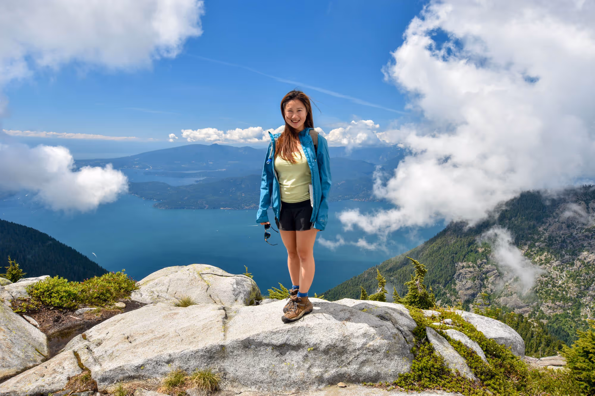
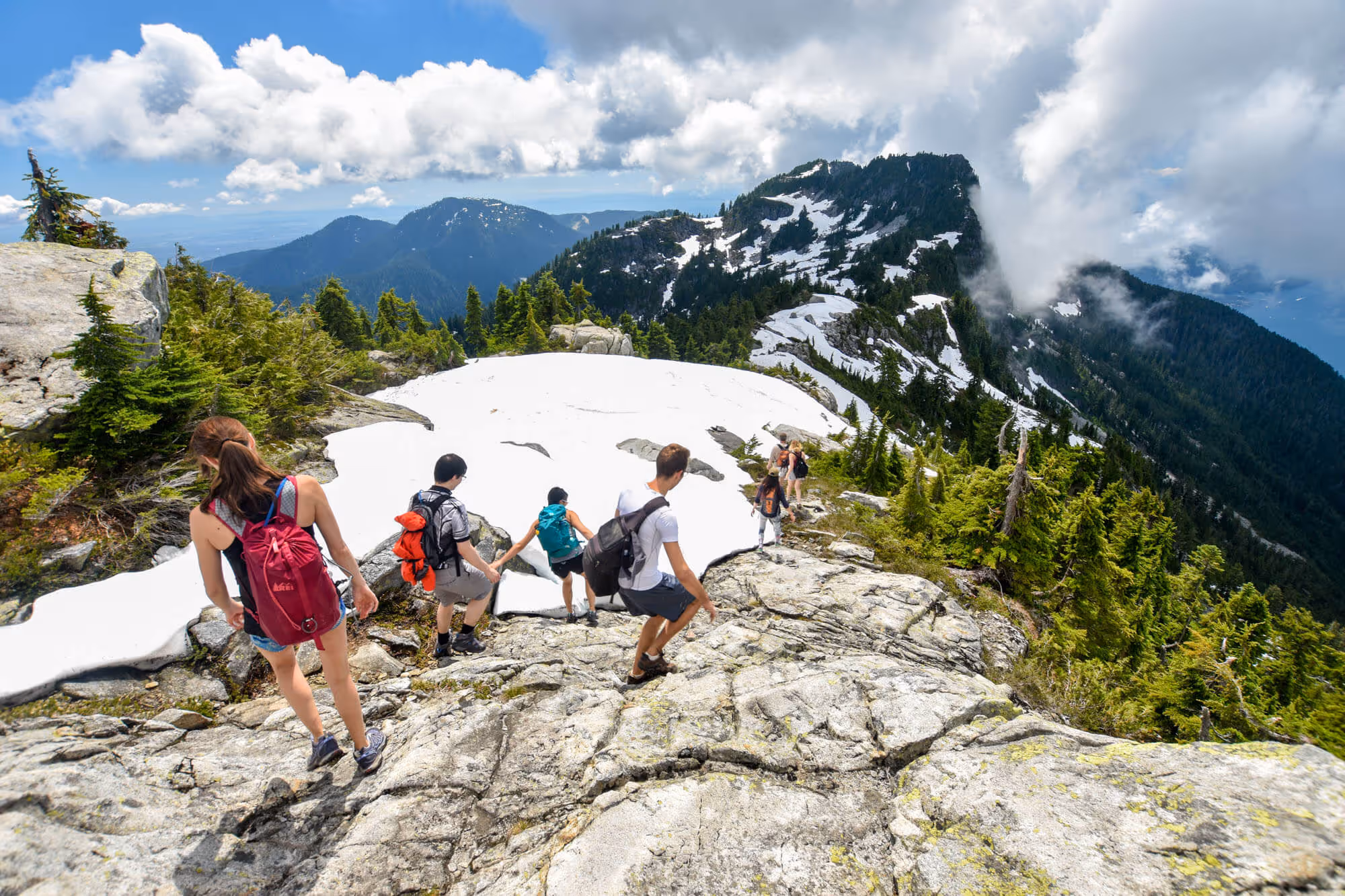
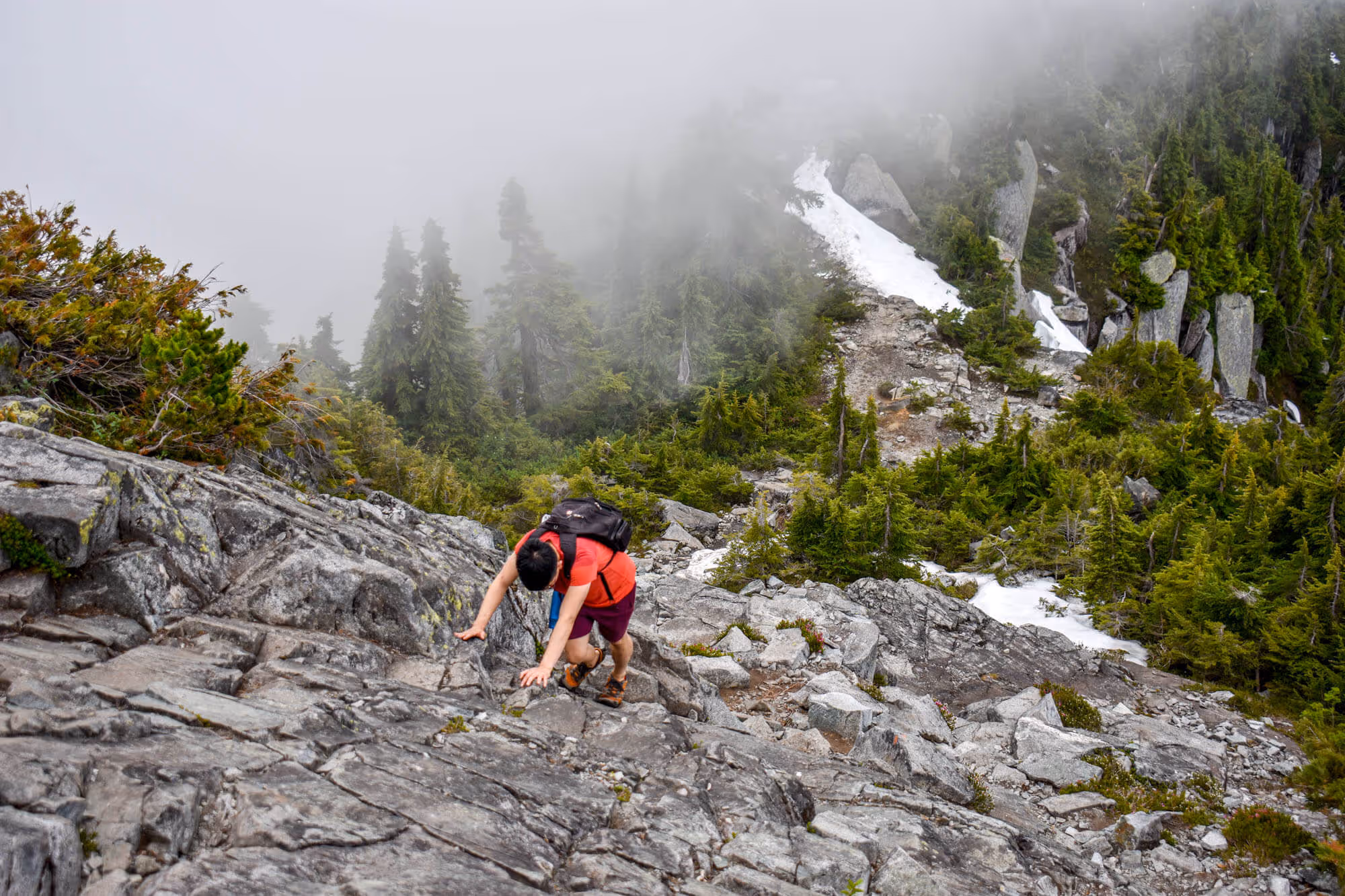
The elevation of the East and West Lion is about 1,606 meters and 1,646 meters, respectively. Due to the high altitude, you can often find snow at the top, even in the middle of the summer. When we did the hike in August, there was still snow, but not to the point that you would need crampons or spikes - though crampons or spikes would help, it is not quite worth the extra weight to carry. Since Chris skis a lot, and likes to wander off the conventional piste, he is familiar with boot-pack hiking. He led the group, kicking his toes into the snow to create steps for the group.

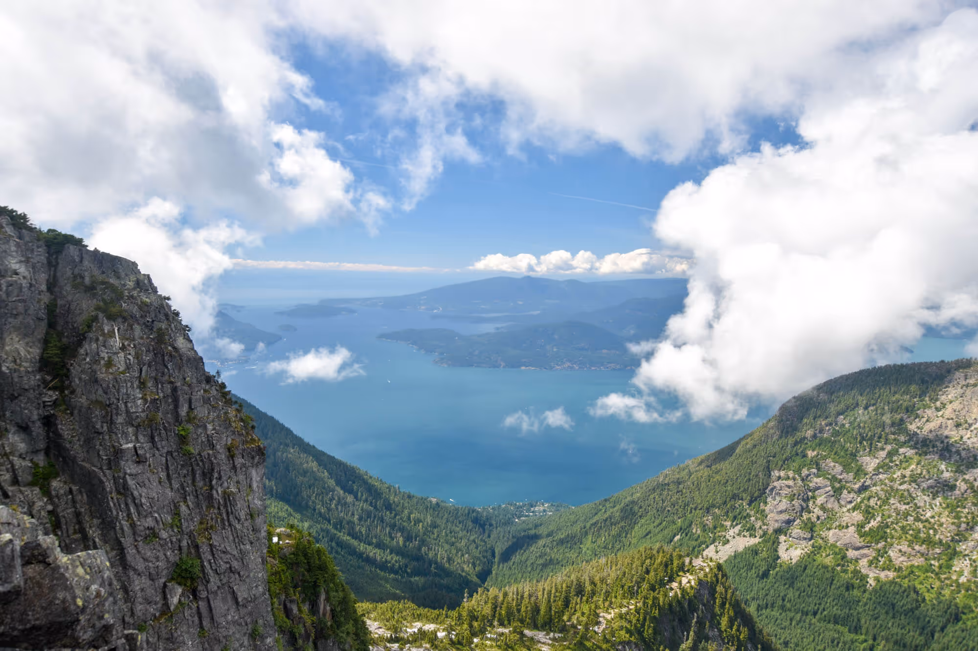
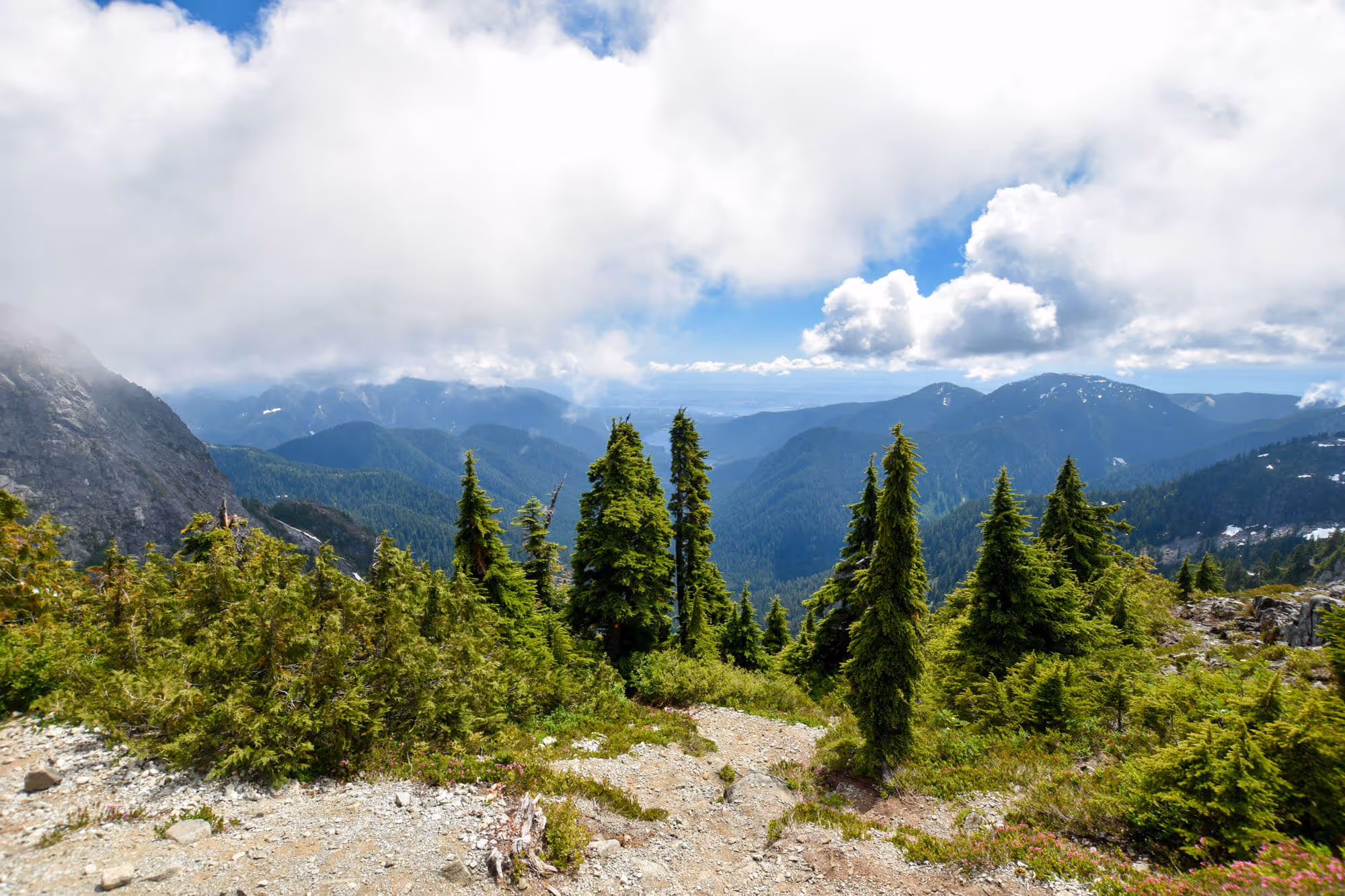
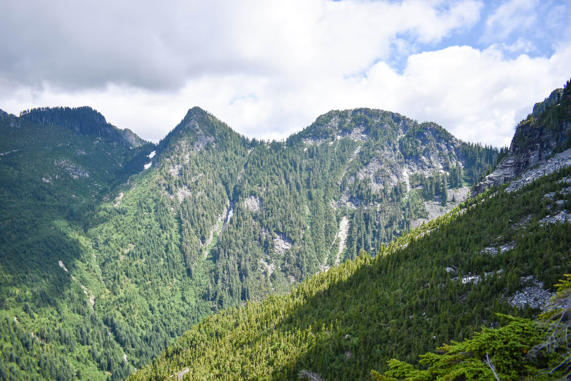
The trail offers beautiful views of the Howe Sound along the way up. But as we continued higher towards the summit, we started to get into the clouds. When we got to the end of the trail, we were fairly heart broken - the views in front of us were mostly of clouds. If you were to do this hike on a clear day, you would be able to see everything. It is almost as if you are on top of the world. Where the world is Vancouver. I mean, Vancouver is a pretty great place, right?
Summit of the Lions

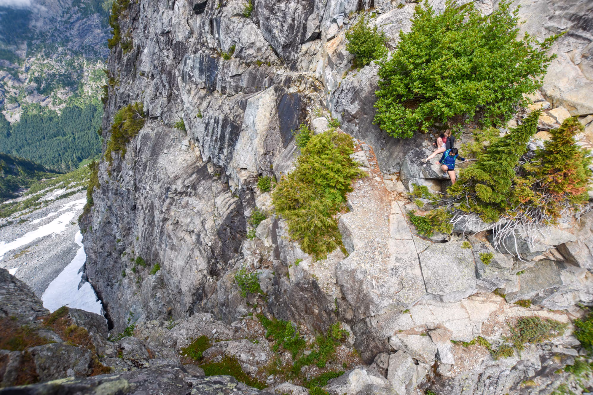
The trail doesn't lead you quite to the summit of the Lions. To summit the Lions, you will require proper climbing equipment and a controllable fear of heights. Some of the group wanted to summit the West Lion...they went as far as looking for the path up it, but found that the existing chains/ropes had been taken down. They came back and said “Next time we will bring rock climbing gear”. At this point, we decided we would head down.

Depending on your fitness level, the trek down can be a little difficult. A 4-hour hike up to the summit can take a bit of a toll on the body. The round trip took us a total of 7 hours plus 1 hour of hanging out at the top. Most of us were pretty tired after the hike and…a little sore the next day.
Conclusion
The hike was difficult - it is a strenuous one! The trail condition was good - all except for the parts that were still covered in snow. The view was spectacular (even with the clouds) - it looks out towards Howe Sound to the North, and Vancouver to the South. It took us about 7 hours to complete.
Would we do it again? If you twisted our arms, we would probably agree to do it again. At the end of the day, the view is rewarding, but it is a full day trip and it is very tiring. Keep in mind that if there is a chance of poor visibility, it may not be worth it - definitely plan the hike for a nice sunny day.
Doing the Lions is like earning a badge of honor that you can display proudly. You can be standing with your friend in Vancouver, point up at the Lions, and say “I’ve been up there”.