I was super stoked about this hike. We had booked this hike as an overnight pre-West Coast Trail preparation excursion. Panorama Ridge is a 6.5km hike from Garibaldi lake with about 650m of elevation gain. It is common to do this hike either as an overnight trek from nearby campsites (Taylor Meadow or Garibaldi Lake) or as a day hike from the Rubble Creek Parking lot.
Both Nancy and I have hiked in Garibaldi Provincial Park quite a few times. We have covered most of the popular trails (such as Elfin Lakes, Wedgemount Lake), and even some of the less popular ones (Opal Cone, Cheakamus Lake). While it was my first time hiking up to Panorama Ridge, Nancy had already hiked it a few summers ago with her sister.
Panorama Ridge Hike Trail Head
The trail head to Garibaldi Lake and Panorama Ridge can easily be navigated to by Google Maps. The turn off from the Sea-to-Sky highway can be accessed by both North and South-bound traffic and is marked with BC Parks sign to Garibaldi Lake and Black Tusk Trailhead.
I guess it had been a couple years since I had been to the Rubble Creek Parking lot. I was pleasantly surprised to see that the parking lot had been expanded since my last trek up to Garibaldi Lake 2 years ago.
Before, cars would be overflowing down the dirt road leading up to the trail head, but NOW, there is a 3rd parking level, which adds quite a few spots. We got to the trail head at about 8:30am on a Saturday, so we had a few spot to choose from. BUT, even with the expansion, the parking lot was surprisingly already ~75% full. If you plan to drive, plan to leave earlier than later! OR, you can look into bus shuttle services: I recently found out that ParkBus offers services to/from the trail head from downtown Vancouver.
The trail head is just at the end of the newly paved and painted parking lot. At the trail head, there are gender designated portable washrooms (as usual, the men’s line is always shorter). Be sure to use them as the next available facility is either at Garibaldi Lake or at Taylor Meadow Campsite.
There were also Park Rangers at the trail head checking-in people with overnight reservations. They offer trail condition information and any specific regional park rules. This is great, because I suspect people were hiking up to the campgrounds and taking camping pads without making reservations, which led to some “unhappy campers”. Heh.
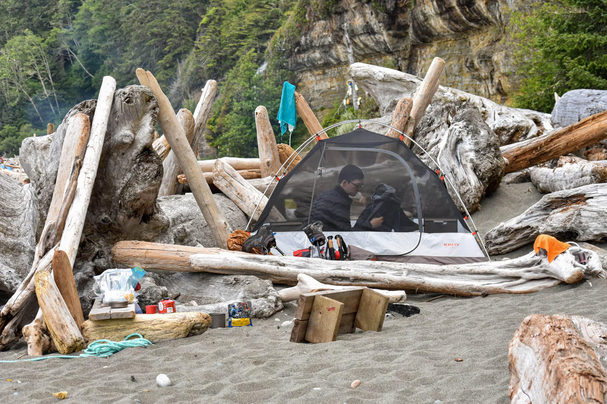
Taylor Meadow Campground
The Taylor Meadows Campground is about 7km from the trail head. The hiking isn’t super difficult, the trail has a gradual incline and is very well maintained. Seeing as this is one of the most popular hiking areas in B.C., there is quite a bit of traffic, so you don’t have to worry about getting lost or stranded.
I really like the Taylor Meadows camping area. Parks BC has put a bit of effort into upgrading the camping facilities over the past few years. There is a nice cabin where you can eat your meals and not worry about being bitten alive by mosquitoes, a clean water source (quick moving river), several outhouses, tent pads, and places to hang your food bags – I am a really big fan of food bag hanging areas.
I should note that mosquitoes like my blood. I mean REALLY like my blood. It might be something that runs in the family, as my mom’s side of the family seem to get bitten a lot. The bites also seem to swell quite a bit, sometimes up to 5 cm (2”) in diameter! So, if I had any complaints about the campground, it would be that there is a boatload of mosquitoes. I think I got bitten 10 times? and… Nancy got bitten a grand total of 0 times. Not fair.
If you are to planning to camp, be mosquito prepared! We bumped into one guy who actually brought an electric fly swatter. I was slightly jealous.
Taylor Meadows Campground to Panorama Ridge


If you take the most direct route over to Panorama Ridge from the campground, the hike is about 6.5km. The terrain isn’t as nice as what we had earlier, but it is still pretty decent (it looks like they are upgrading the trail in some locations to add wooden walkways). There are a couple locations where a creek has decided to make its way onto the trail, so waterproof hiking shoes are ideal.
I think that the Panorama Ridge trail receives a bit less traffic that the Garibaldi Lake trail, so we actually came across a marmot on the trail! It was pretty round and cute looking.
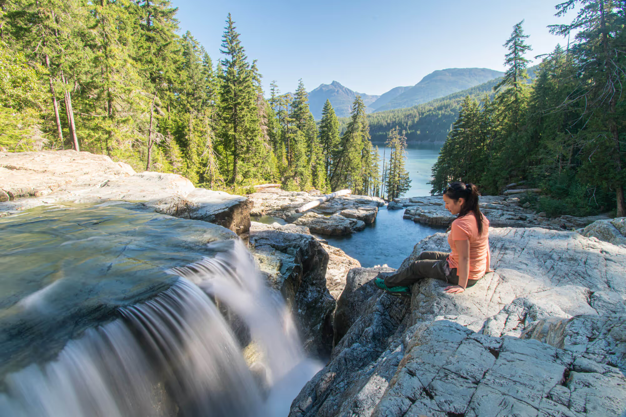
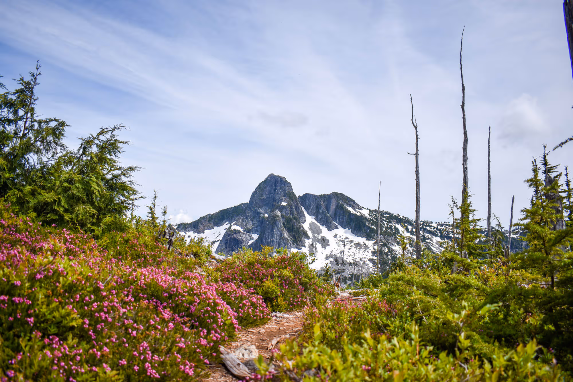
The last section of the trail to the ridge offers great views of the Black Tusk, Black Tusk Lake, Mimulus Lake and Helm Lake. It is also where the trail gains most of its elevation as the path gets steeper. No scrambling is required but the path tends to be slippery with snow/slush from the previous winter. Crampons are not necessary but would be very helpful.


The view at the top is well worth all the effort of getting up there. Also, as the name implies, the final destination is a ridge. You can actually walk along it to get different perspectives for photos.
Panorama Ridge has a lot of snow down the backside (that you can see as you approach). Lots of people take off their jackets and toboggan down the snow-covered slopes. I might have done this. It was a lot of fun! Nancy pretended she was a mature adult and walked down properly.
Weather Preparedness
I knew going into this hike, I tend to get really cold. Which is the total opposite of my day to day life.
Anytime I am doing ANYTHING, I am always roasting hot. I am warm taking the train after work. Almost breaking out into a sweat while walking to work. And sweating while hiking and skiing. I am warm even lying in bed at night in my underwear with no blankets.
It can be the hottest day of the summer, I’ll be sweating during the whole hike, and boiling even as I sit at the top, BUT as soon as the sun starts to set, I’m freezing.
Because I have experienced this phenomenon several times, I thought that I would be smart. I packed lots of extra layers. I brought two merino wool long sleeve shirts, long pants, a light down jacket, a waterproof shell, ski gloves, a toque AND the warmest waterproof jacket that Arcteryx makes – the Fission SV (which I was perfectly happy wearing in Hokkaido and Iceland).
Spoiler alert: I wore all the clothing mentioned above – I was still cold. Did I mention this was the middle of July?
Sunset on Panorama Ridge


We got to Panorama Ridge at about 8:30PM and to our surprise, we found ourselves alone. Nancy proceeded to walk around the ridge and take photos while I sat down to eat and waited for sunset (I tend to get really hungry hiking, and she gets less hungry).
Sunset was at 9:15PM, so we made it in good time to get setup and prepare for shots of the sunset, and the stars after dusk… but as the spoiler had mentioned, I got cold. I started layering up immediately after getting to the summit. But it wasn’t enough. The wind was bone chilling and did not die down. To Nancy’s disappointment, we had to trek back before dusk.
Thinking about it now, it was a good decision to head down early. One, because the sky was only partly clear, so the chances of good astro-photos wasn’t great. Two, it was seriously cold so Nancy would’ve been frozen in due time as well. Three, because we left the ridge early, we were able to navigate back to the campsite mostly without our headlamps. Overall, it was the right call.


Final thoughts of the hike
The hike was on the longer side considering the first leg of it was with overnight gear, but totally worth the view at the top. Does the lake look majestic from up here? Very much so. Should you wait for a view at dusk? Probably not. Go when it is nice and sunny, or at night to see the stars.
Would we do it again? Yes, for sure! But we would try to do the hike as a day trip. While it is a long hike ~27km round trip, it is a little shorter if you skip the lake and go through Taylor Meadows. Doing it as a day hike might be a little bit strenuous, but it also saves you from lugging 10-14kg of gear up to your campsite.