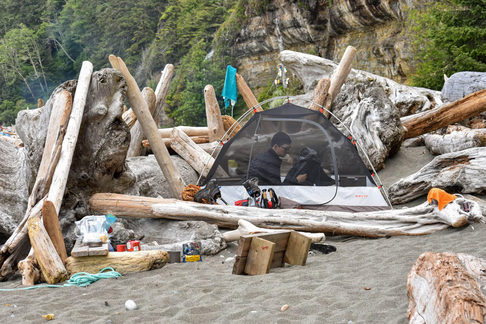
West Coast Trail Day 2 started at around 8 AM in the morning. Both of us were woken by the voices of our neighbours. We were both a little annoyed until we saw it was 8AM already. Taking a peak outside, it seems like quite a few of our neighbours have already packed up and started their trek.
8AM Breakfast on WCT
This was our cue to get up and get ready for our 2nd day on WCT! We divided up the preparation work: Chris was in charge of packing up the sleeping bags & tent, and I was in charge of getting the food ready. (Not stereotypical at all).
Our breakfast was biscuits and gravy, courtesy of Mountain House. I have to admit, this was the first time I had biscuit and gravy … ever! It was pretty tasty but a bit salty.


9AM Back on the Trail
It took us about an hour to pack, refill water, eat, and get ready for the trail. We were back to trekking by about 9AM.
For our second day, we planned to be a bit more ambitious. We aimed to camp at Michigan Creek which is about 13km away from Tsusiat Falls.
Michigan Creek is the north-most campsite on WCT. It is located at marker 12km and as its name implies, 12km from our final destination, Pachena Beach. Since our express bus pick up time is at 1:45PM on our final day, we wanted to minimize our trek on the last day.
WCT Ladders and Cable Car
The trail started with a series of ladders to get back into the trees. This beach access, like others, was marked with boat floats.

After a short walk, we arrived at the river that fed Tsusiat Falls. The water, although flowing, was tinted slightly orange. I suspect it got the colour from the surrounding rocks. With a second look at it, I would definitely filter and boil the water prior to consuming.

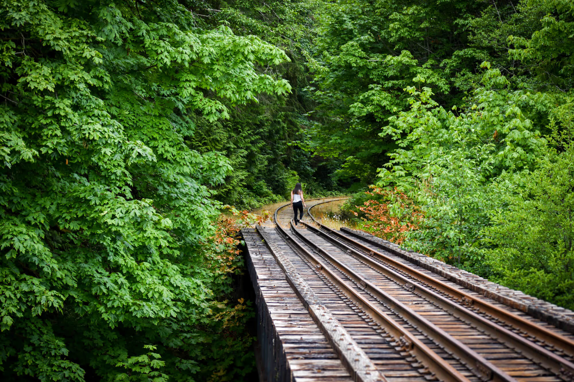
The trail was nice and maintained. Old wooden walkways were recently replaced with new ones. The smell of fresh cut wood still lingered.
We continued onward – after about 2 kilometers, we arrived at our first and only cable car crossing! The cable car crossed the Klanawa River. It was very exciting. How many times does a normal person use a cable car to cross a river? That’s right… never. At least for us. (Unless you started at Port Renfrew, in which case, this would be your 5th cable car).
The proper way to use these cable cars is to unclip your backpack and load it onto the cart first then physically get into it yourself. The cart has two seats and can fit two people. Since it was just the two of us, we both got into the cart and gravity slid us towards the centre of the river.
It wasn’t until our cart slowed at the middle of the crossing and we had to start pulling on the rope to continue advancing toward the other side of the river that we became glad that this was our one and only cable car crossing. Pulling ourselves from the middle of the crossing to the other side was pretty hard work! I let Chris do all the pulling haha.


We later learned that this was the longest cable car crossing on the trail. We’re glad that we were able to experience it, but also glad it was done with. Ideally, it would be nice to have 3 or more people for the cable car. This way at least one person can help pull the cart from one side while one or two people cross in the cart.
Bathroom Break: WCT Outhouse
After crossing the Klanawa River, we got to one of the campsites. At each designated campsite, outhouse facilities are available. We decided it was time for a bathroom break.
Before attending the Orientation Session at the beginning of our hike, Chris was under the impression that if we had to poo, we would have to do it in the wilderness. He got very nervous at the idea. It was probably one of the top things that concerned him about this backcountry experience.
Not sure how, but he missed the memo that there were outhouses on the trail. He thought that we would need to dig a hole each time we wanted to poo. As such, he insisted that we buy a Trowel.
We were pleasantly surprised by the quality of the outhouses. As seen in the picture above, they are well constructed, with lots of ventilation. In fact, all the waste is exposed, but surprisingly there were little to no smell. The outhouses used wood shavings for odour and moisture absorption – it worked great.

Lunch at WCT 20km Marker
After the bathroom break shenanigans. We continued trekking North. This 3km stretch is all on the beach and is only passable at tides below 9ft. Thankfully the height of the tide was never an issue for us while trekking along the shore.

We decided to have our lunch at the 20km marker by Trestle Creek. This was were we filtered water for our lunch. However, we would not recommend using this water source unless absolutely necessary.
The water was running and clear but visually red tinted. We were a little skeptical but knew that we were filtering it and boiling it before consumption – we did not get sick.
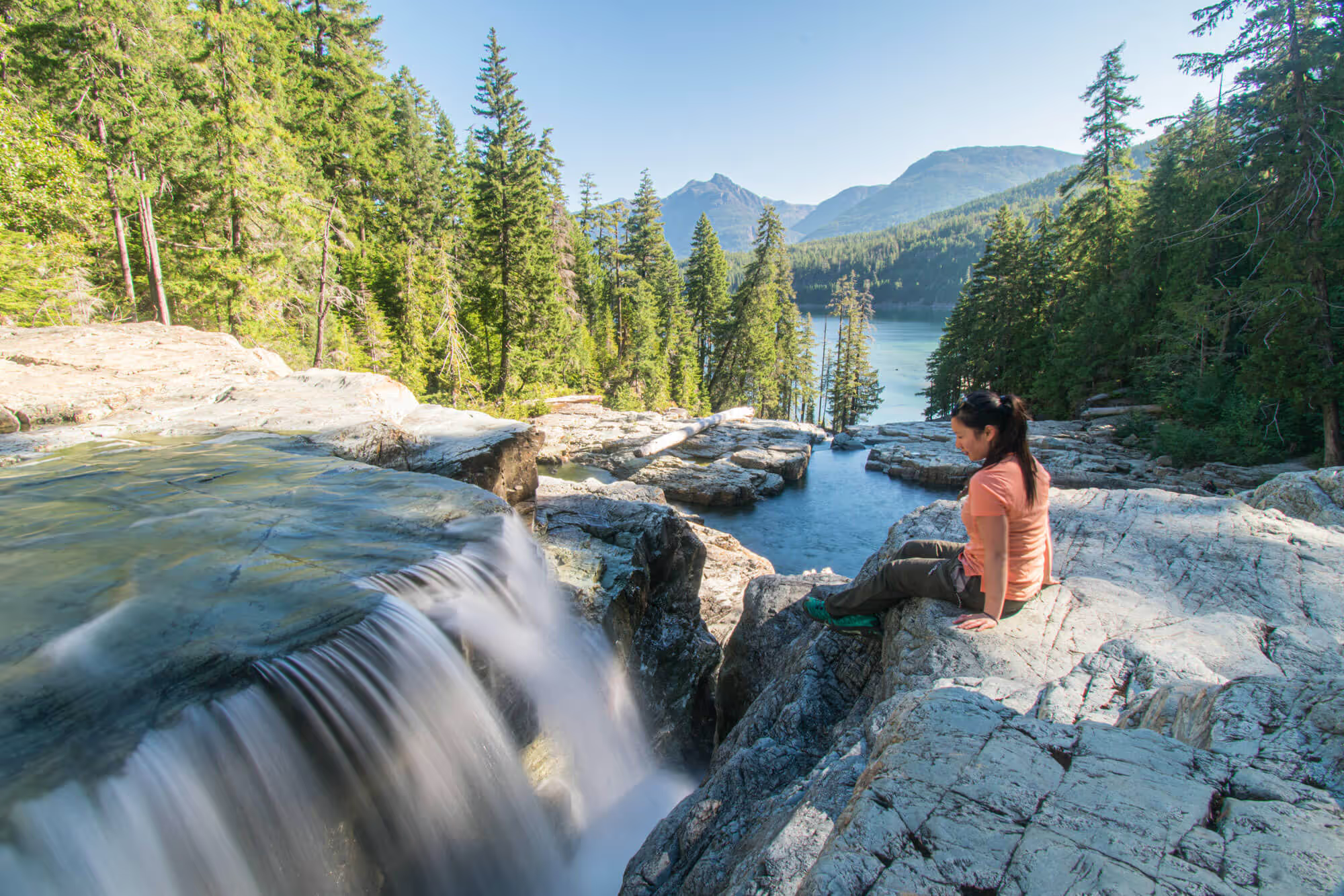
After lunch, we continued onward to the trails in the trees.
3PM Darling River
As the day progressed, it got warmer. We decided hiking the trails in the trees would be much more enjoyable compared to trekking along the beach with no shade – so we trekked 6 kilometers from Trestle Creek to Darling River.


Darling River is located at around the 14km marker. It is the recommended campsite on Parks Canada’s hiking itinerary. The campsite lies north of the river. We had to cross the river by walking across two logs like seen in the picture below.

By the time we arrived at Darling River, it was around 3PM. There were already hikers setting up their tents. We did not make a stop – just continued onward to Michigan Creek.
4PM Michigan Creek
Michigan Creek is just 2 kilometers away from Darling River. We arrived around 4PM trekking along the beach. We were very happy to reach our destination of the day, and couldn’t wait to put down our packs.
When we arrived, the campground was already quite occupied. Most of the nice spots in the trees were already. We were lucky and were able to find a decent spot. We set up our tent quickly and got ready for dinner.

In comparison to Darling River, Michigan River was much busier. We suspect this was because it is the first campsite for hikers heading South and the last campsite heading North. If you want to camp at Darling River – make sure to get to the site earlier than later!
The campsite had great access to freshwater (Michigan River), beach front sites and sites in the trees. We were happy with our decision to camp here for our last night.

Resources
- West Coast Trail Bus
- Parks Canada: West Coast Trail Info
- West Coast Trail Reservation (booking opens 8AM PST on April 30, 2021)