


Getting to Mt Gardner Trailhead
Getting to the trail head required us to take a ferry from Horseshoe Bay to Snug-Cove Terminal on Bowen Island. The ferry itself was just about 20 minutes (see BC Ferry sailing times and details here). From Snug-Cove Terminal, the trail head is about 2.9 kilometers away - about a 40 minute walk or 6 minute drive.
We drove over to the trail head rather than walking. This probably shaved a decent amount of time off the 7 hour suggested time on Vancouver Trails. We parked on the side of the road, a little past the trail head turn off, as we weren't sure if there were any designated parking areas. Turns out there were at least 6 to 8 cars worth of designated parallel parking space up the dirt road leading up to the trail head.

The trail begins past the closed gate blocking the road. Apparently the Gardner Hardner, is a well known trail run. It is proclaimed to be "Bowen Island's sickest trail run" - and if you finish the trail between 40-50 minutes, you are declared God and a dope test is required. Be sure to check out the trail maps at the beginning of the turn off for more info!


Journey to the top
The route to Mt. Gardner is not as straightforward as you would expect. There are many different loops you can take, which should all get you to the same destination, but are mildly confusing. For directions while hiking, we religiously use the Maps.me app, as it is a fantastic resource for offline map services. Not only is the trail not very straight forward, there are a bunch of creepy dolls and gnomes hidden around some of the trails. Makes for an interesting time and conversation piece!


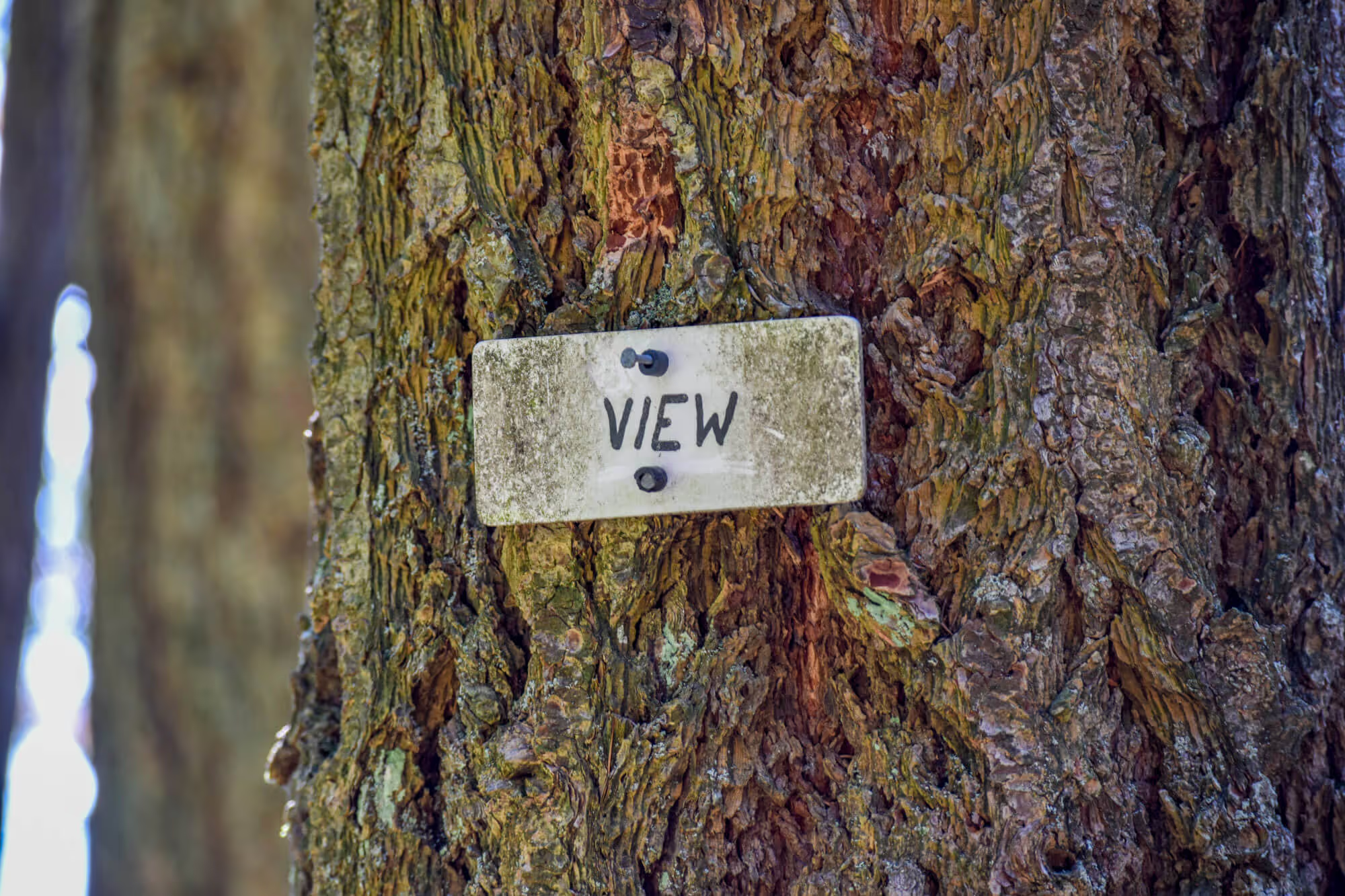
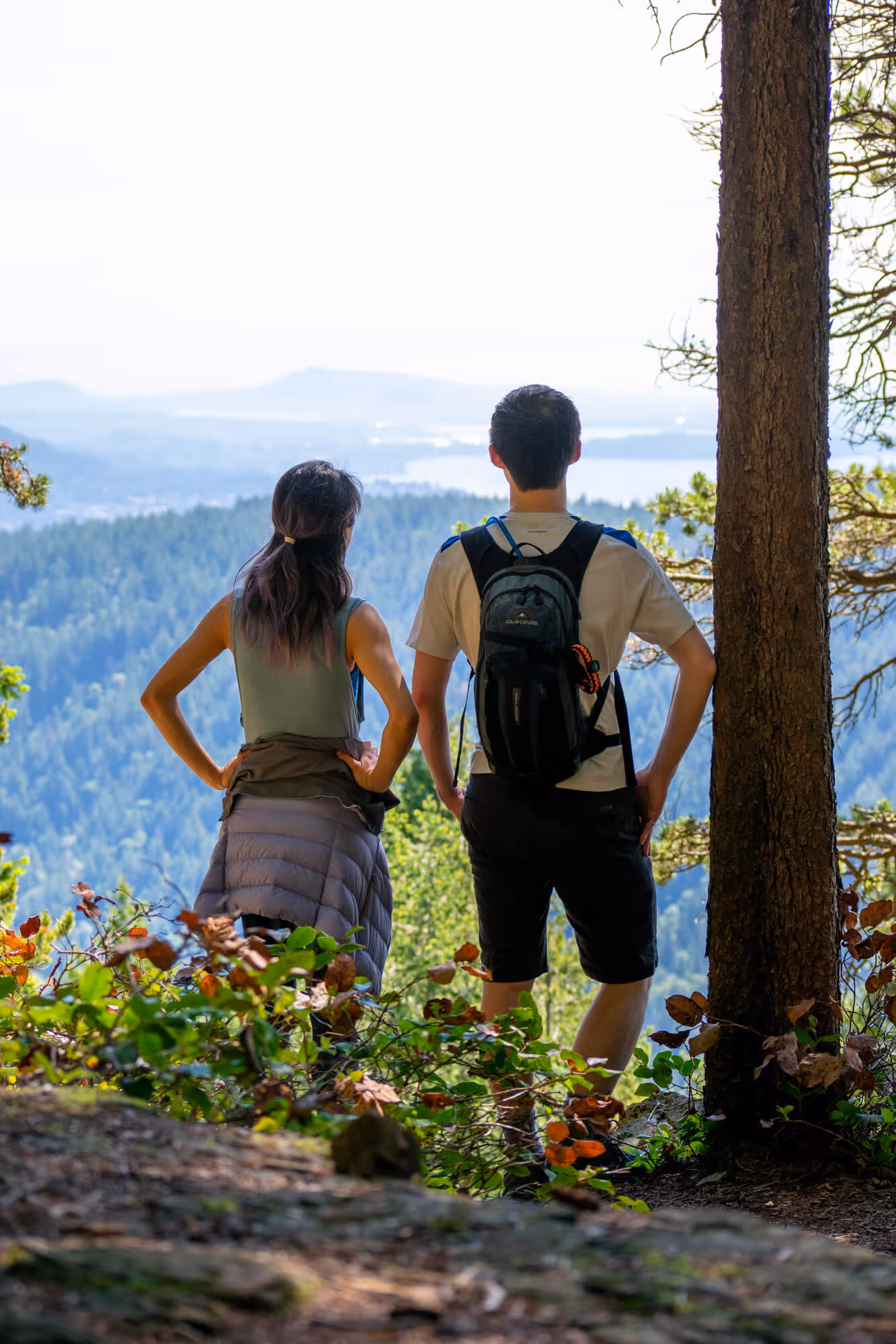
Many of the signs indicate that the South Peak doesn’t actually have a view, so we skipped it. We went directly to the North Peak, which has an okay view. Surprisingly, it does get pretty busy at the top (We thought less people would do the hike because you have to take a ferry). We got to the peak at about lunch time, which we would assume would be... the peak time for a crowd! (Pause for laugh). Since we didn't want to fly the drone around people, we wandered off the trail a bit to a secluded area and flew there. This, being our first time flying by trees, made Chris a little nervous. We were very happy that we had bought a drone that had sensors in 5 directions. It definitely paid off because the drone didn't hit any trees!
After a bit of flying around and Chris getting very sweaty hands from being nervous, we decided to head back down to the car. On the way, we saw many hikers who looked confused about the trail, and some were even wandering off trail trying to get to the peak via trailblazing.
Conclusion
The hike wasn’t overly difficult, it was just confusing - pretty sure we did the hike in reverse of what is described on Vancouver Trails and we somehow missed the steep section that has ropes. The trail condition was good. The view was ok, nothing too spectacular compared to other hikes around Vancouver - the North Peak has two looks outs, one looking out towards Vancouver, and another looking out towards the Sunshine Coast (arguably, the Sunshine Coast view is a bit nicer). It took us about 4 hours to complete. Would we do it again? Probably not, but it was a nice way to break in the season.